
Methods, workflows, and strategic value
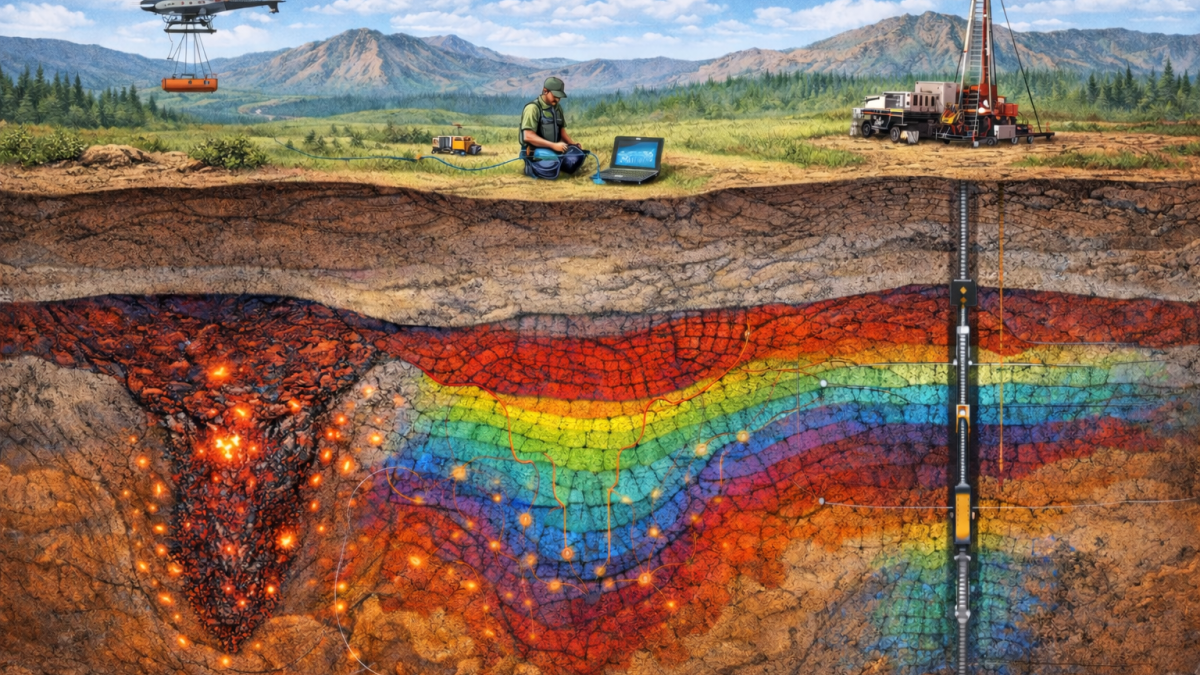
At the most basic level, geophysical exploration is simply using physics to “see” into the ground without digging. It’s the subsurface equivalent of medical imaging, different physical properties reveal different geological features.
What geophysics measures:

Value comes from integration, not standalone datasets. The benefits of integrating geophysical data with geological and geochemical data include:
An example workflow
Start with a desktop study to understand regional geology, structures, historical work, and deposit models.
Use regional geophysics (magnetics, gravity, radiometrics, AEM/MT) to identify major structural corridors and favourable lithologies.
Move to prospect scale surveys (high resolution magnetics, ground gravity) to resolve subtle structures and refine targets under cover.
Apply target focused methods (IP/resistivity, EM, seismic) to detect alteration halos, sulphides, and structural features linked to gold systems.
Integrate geophysics with geochemistry, regolith mapping, and geology to rank targets and build 3D models.
Drill test the highest priority targets and use downhole geophysics to refine geometry and extend mineralised zones.
Iterate the process - each dataset informs the next step, improving confidence and reducing drilling risk.
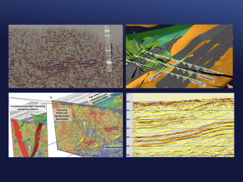
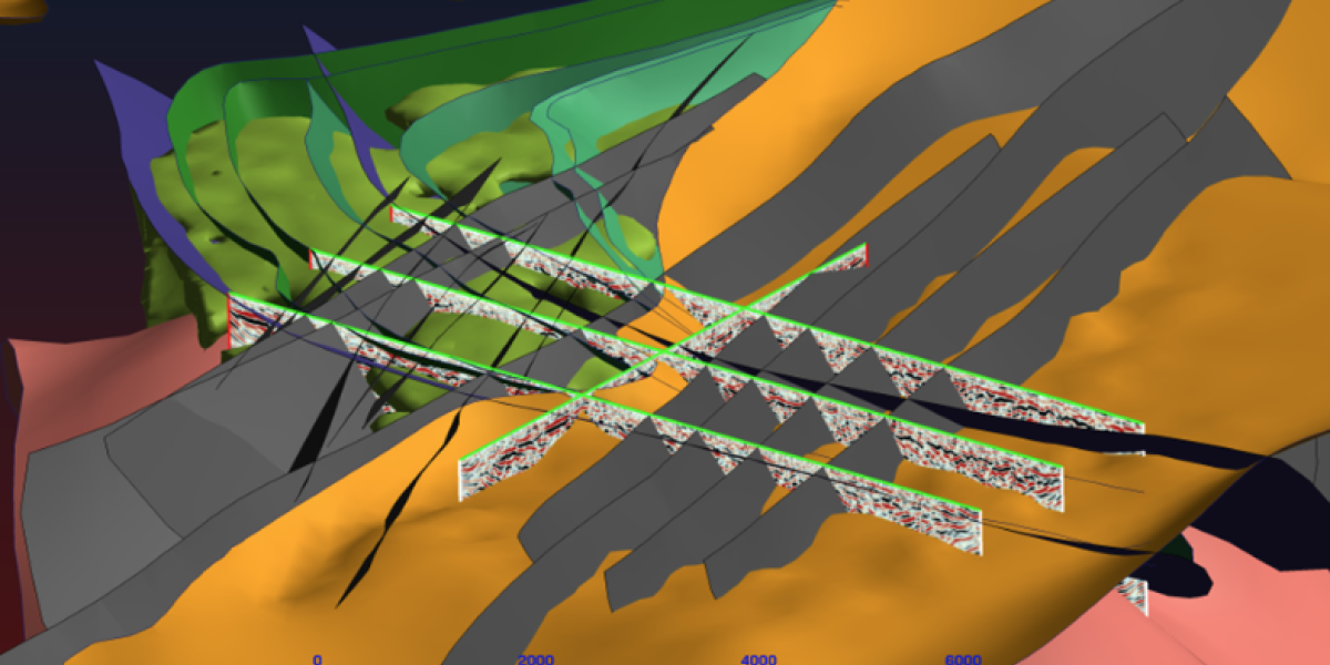
In the end, geophysics is not about choosing a single method, it’s about choosing the right tools for the right question. Airborne surveys, EM, gravity, and IP each play a critical role in building the exploration picture, helping reduce uncertainty step by step. But as exploration pushes deeper, targets become more structurally complex, and the cost of drilling continues to rise, one method increasingly stands apart – reflection seismic.
Reflection seismic is where interpretation shifts from inference to direct imaging.
While most geophysical techniques respond to physical contrasts that suggest geology, seismic reveals the architecture itself, faults, stratigraphy, and the structural frameworks that control mineral systems. It provides the clarity needed to understand not just where a target might be, but why it exists and how it is formed. In the context of modern exploration where drilling decisions can hundreds of thousand of dollars, that investment is often justified by the reduction in uncertainty and the ability to target with precision.
The most successful exploration programs are those that integrate multiple datasets, but increasingly, they are anchored by seismic.