
Most geothermal projects are awarded on the basis that risks can be mitigated, these risks are detailed in permit application and are focused on safety assurance, regulatory compliance and efficiency
Historically geothermal production has been a high-cost industry, with limited budgets impacting exploration and monitoring efforts of geothermal wells
The energy capacity factor provided, dependability, longevity are all recognised benefits, however the upfront cost and risk is high, resulting in projects requiring significant de-risking tactics
Regardless of the well type, power or heat, deep or shallow, open-loop or closed-loop systems, well failures occur regularly, at rates similar to O&G and because most geothermal project costs come from the drilling, reducing well failure and well count is important
Land seismic data can be used to de-risk decision-making and drilling operations by pinpointing viable geothermal production locations and monitoring well integrity during operations.
Discover the seismic surveys that make this possible...
Seismic data plays a crucial role in regional scouting for potential geothermal sites. By utilising 2D or 3D seismic data, it allows for the identification and grading of prospective geothermal locations. This process involves:
By providing detailed subsurface information, seismic technology significantly enhances the accuracy and efficiency of geothermal site selection and project planning.

De-risk pre-drill decision-making and assure compliance with high-definition seismic data:

Subsurface monitoring is essential for the ongoing management of geothermal wells, particularly during production. This involves:

An end-to-end solution comprising of survey planning, survey design, seismic acquisition, and seismic data processing.
Development of a detailed seismic survey plan (single project or long-term (multi-year program)) to help with permitting and regulation compliance.
Design of a fully optimised 2D, pseudo-3D, 3D, seismicity, or monitoring survey for exploration or monitoring.
Safe, efficient and cost-effective seismic data acquisition using the latest technologies and techniques.
Low-cost, rapid seismic data processing, inclusive of time, depth, and analysis of seismicity data.
GEO2X SA
"For our clients Sinergy and BEG (Aproz, CH), we successfully planned and acquired an optimized 3D survey of approximately 2500 traces in the beautiful Swiss Alps using the STRYDE nodal system in under three weeks, encompassing layout, acquisition, pickup and raw data delivery !
Unlike traditional orthogonal 3D methods, which use regular grid patterns for receivers and sources, our optimized 3D acquisition strategy leverages existing infrastructures and roads from the survey planning stage. This novel approach integrates the urban environment, building the survey around it.
The benefits? Smoother, faster, and more cost-effective operations, while ensuring excellent data quality and coverage"
The global expansion of geothermal energy requires a deeper and more accurate understanding of the subsurface. High-resolution seismic data plays a critical role in identifying geothermal resources, mapping complex geological structures, and reducing the risks associated with drilling geothermal wells. However, traditional land seismic systems are often bulky, expensive, and logistically complex, limiting the scale and resolution of surveys.
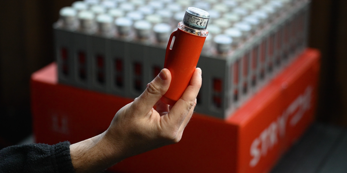
STRYDE is transforming this. We have developed the world’s smallest, lightest, and most cost-effective autonomous seismic receiver technology, designed to enable high-density seismic surveys at a fraction of the cost of conventional systems.
STRYDE nodes allow geothermal developers to acquire ultra-high-resolution seismic data that improves subsurface imaging, enhances reservoir characterisation, and increases confidence in well placement. By simplifying logistics, accelerating deployment, and reducing acquisition costs, STRYDE makes large-scale seismic surveys practical for geothermal projects in any onshore environment.
Access lower-cost, state-of-the-art seismic acquisition technology that will reduce capex and opex by up to 50% and reduce project timelines - delivering an affordable seismic image, faster than ever before.
Rely on an experienced team who have supported geothermal projects across the world to navigate through regulations and benefit from high-resolution seismic data to improve subsurface knowledge and reduce the likelihood of well/and or project failure.
Use of world’s smallest and lightest seismic receiver node results in the ability to deploy hundreds of nodes a day by foot, meaning fewer deployment resources and minimal requirements for line clearance for significantly reduced environmental impact and surveys being supported and sanctioned by landowners.
STRYDE technology allows seismic acquisition teams to reduce exposure to HSE risk by requiring fewer vehicles and people in the field. Due to the low cost of our solutions, we make monitoring affordable, helping our clients assure the integrity of subsurface wells.


Read the paper

Read the paper

Read the paper

Read the case study

Watch the video to learn more

Read the paper

Read the case study

Read the paper

Watch the webinar

