
High-density seismic data offers a powerful, non-invasive way to characterise the structure and dynamics of the Critical Zone. By resolving subtle contrasts in seismic velocity, attenuation, and reflectivity, it enables detailed imaging of soil, regolith, and bedrock, as well as the hydrological and geomechanical processes within them.
Although such high-trace-density acquisition was once confined to hydrocarbon exploration due to cost and logistical complexity, advances in sensor miniaturisation, node-based systems, and streamlined workflows have made high-resolution active and passive seismic surveys far more accessible.
As a result, Critical Zone researchers are increasingly using dense seismic datasets to map subsurface heterogeneity, delineate weathering fronts, identify hydrological pathways, and monitor temporal changes in moisture, stress, and geochemical processes.
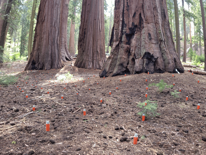
Discover how Virginia Tech is advancing the understanding of near-surface weathering and hydrology through high-resolution seismic refraction surveys and creative survey designs
Learn more

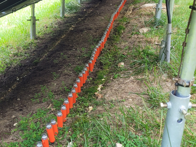
Discover how EERC have transformed monitoring techniques at an ethanol 180,000-MT/YR CCS project in North Dakota
Learn more
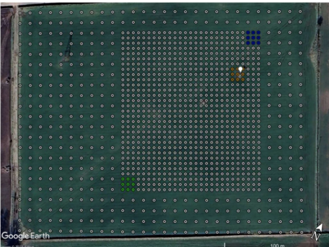
Discover how leading Universities monitored the critical zone with ambient seismic noise recorded on a dense nodal array
Learn more
Prof Steve Holbrook
Professor of Geophysics and Head of Geosciences Department at Virginia Tech"As the first academic group to own and operate a facility of seismic nodes, we are pushing the frontiers of critical zone seismology. With ~2,000 nodes purchased from STRYDE we are able to do everything from high-resolution, shallow CZ imaging, to long-offset surveys for deeper imaging.
The combination of large numbers of seismic nodes plus cutting-edge analysis techniques is enabling us to see inside the critical zone in unprecedented ways. The nodes are accelerometers, so they can be placed in any orientation, enabling 3-component data. The large number of nodes means we can collect dense 3D surveys, and their ability to record for up to 30 days on a single charge enables time-lapse survey (e.g., to track water movement in the subsurface).
Best of all, the autonomous nature of the nodes makes seismic field work much easier: because we don't have to carry reels of cables or heavy batteries into the field, we can collect more seismic data, faster, with fewer people. (Let me say that again: no more cables!)"
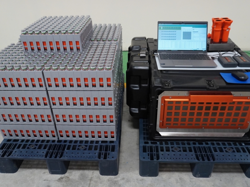
The STRYDE Mini System has redefined what’s possible in small-scale subsurface imaging, empowering academics, researchers, and exploration teams to acquire high-resolution seismic data without the complexity, logistics, or cost barriers traditionally associated with seismic technology.
As the most compact and affordable seismic system on the market, the Mini gives organisations access to the kind of dense-channel, high-quality seismic data that was previously out of reach. Its ultra-lightweight, low-cost nodes and streamlined deployment workflows dramatically reduce project expenses - making it feasible for groups who historically lacked the budgets, equipment, or personnel required for conventional land seismic acquisition.
By removing these financial and operational barriers, STRYDE has empowered over 380 seismic projects since 2020, and has been used by over 30 Universities to acquire detailed imaging and better scientific insights.