
Environmental seismology
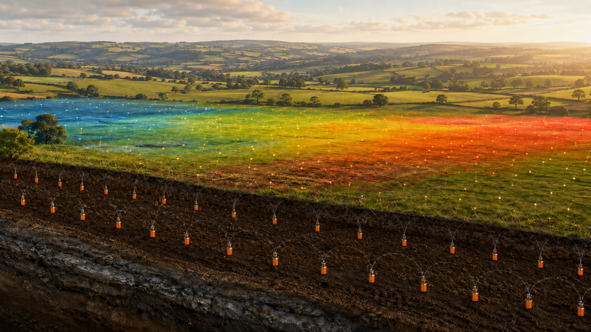
New research explores how thousands of STRYDE seismic nodes can provide valuable temperature data alongside seismic acquisition.
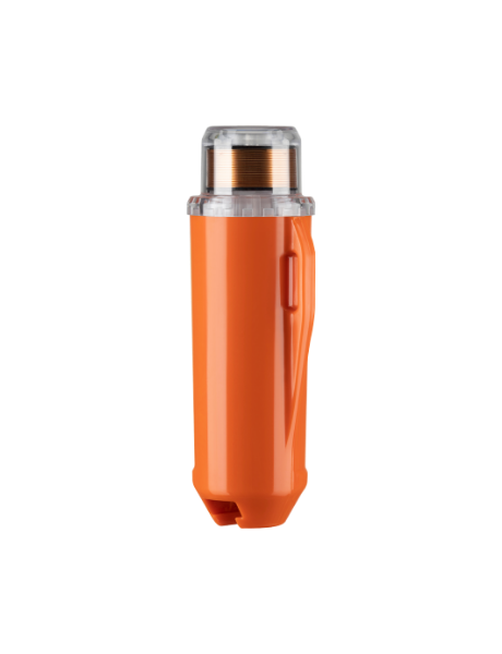
Seismic sensors, or nodes, are primarily designed to detect and record vibrations travelling through the ground to help image the subsurface. Every STRYDE node also contains internal sensors that record operational information throughout its deployment, including temperature data.
Researchers at Newcastle University have explored whether these temperature measurements could provide an additional source of environmental insight, effectively turning a seismic receiver spread into a temporary, high-density temperature-monitoring network.
This could be particularly valuable because seismic surveys often deploy hundreds or thousands of nodes across large and sometimes remote areas. Using temperature data already being recorded by this equipment could allow researchers to observe local variations across a much denser network than would typically be possible using dedicated environmental sensors alone.
The approach could provide a cost-effective way to support studies of microclimates, ground conditions, vegetation, weather patterns and environmental change, without requiring a separate monitoring system to be installed. It also demonstrates how data collected for operational purposes may have wider scientific value, helping researchers gain more insight from each deployment.
North Yorkshire, United Kingdom
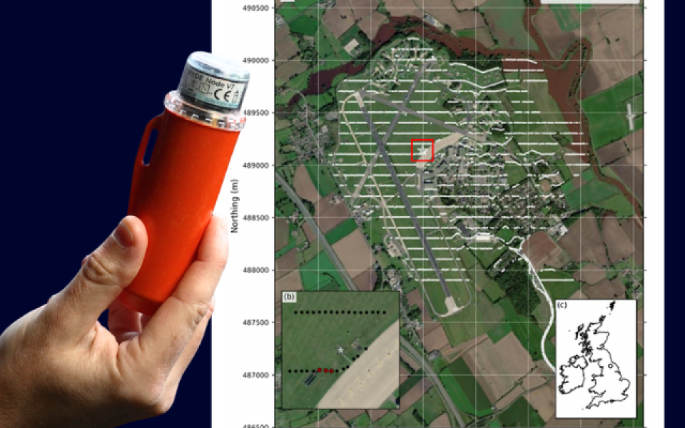
7 July–5 August 2022
Approximately 6 km²
3,281
3,083
Temperature measurements recorded by microcontroller sensors embedded within the STRYDE nodes
Traditional weather and environmental-monitoring networks are often made up of a relatively small number of measurement stations spaced across large areas. While these stations provide important long-term records, they may not capture local variations caused by differences in terrain, vegetation, land use and weather conditions.
With thousands of autonomous sensors distributed across a comparatively small area, a dense seismic survey offers a very different level of spatial coverage.
This research investigates how data recorded by STRYDE nodes could contribute to:
The findings open up opportunities to extract additional scientific value from seismic deployments without requiring a separate large-scale sensor network.

