Mining
Türkiye
The STRYDE Mini Seismic System was deployed by HSB Enerji to map the structural architecture of the subsurface to identify zones where gold deposits are likely to be concentrated.
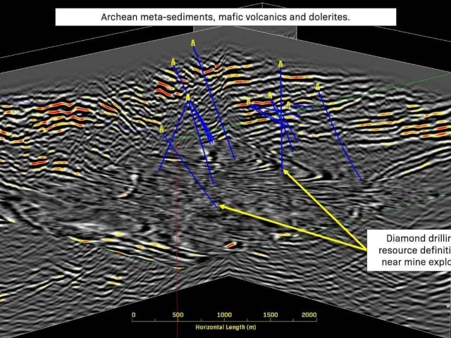
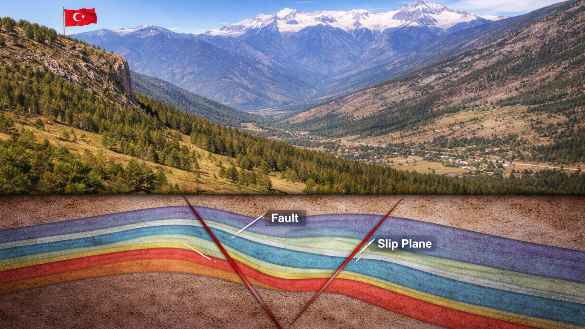
2D seismic data plays a critical role in unlocking key structural insights for mineral exploration, particularly in identifying faults and associated slip planes that control mineralisation. These structures often act as pathways for mineralising fluids, create favourable zones for mineral precipitation, and ultimately influence the location of ore bodies such as gold and copper.
By leveraging 2D seismic data, subsurface structures can be imaged and interpreted through the identification of breaks or offsets in seismic reflectors that indicate faults. The data also enables mapping of the angle and continuity of these features to define slip planes, as well as providing an understanding of how these structures extend at depth.
This approach delivers powerful visibility of the subsurface structural architecture, helping to de-risk exploration programmes and improve the targeting of prospective mineral zones.
HSB Enerji.
Erzincan Türkiye.
Mountainous, with steep, slippery areas.
A 45 km high-density 2D seismic survey was acquired with 3 m receiver (node) spacing along each line. Receiver and source lines were spaced at 200–250 m intervals, providing adequate coverage for structural interpretation. A symmetrical split-spread geometry with 120 active channels was deployed, optimising signal quality and subsurface resolution.
STRYDE Mini Seismic System, with 540 nodes.
Weight drop (40 kg) & hammer (5 kg).
14,844.
13,650.
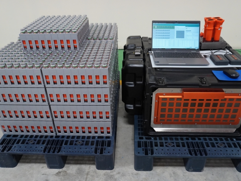
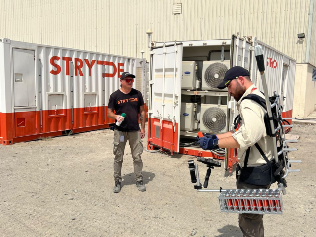
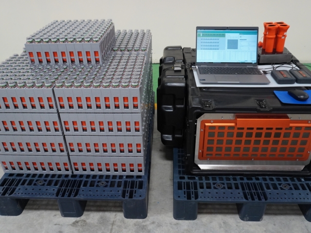
The survey was acquired using the STRYDE Mini seismic system, with a total of 540 autonomous nodes deployed on 14,000+ receiver points along the 2D profile. The compact and ultra-lightweight design of the nodes enabled efficient deployment at 3 m spacing, supporting a high-density acquisition geometry critical for resolving subtle structural features such as faults and slip planes.
The nodal system operated as a cable-free, self-recording array, allowing for rapid layout and flexibility in the field, particularly in challenging terrain. With 120 active channels per shot in a roll-along configuration, the 540-node spread enabled continuous data acquisition along the 45 km line, maintaining high productivity while ensuring consistent data quality and coverage.
This approach combined operational efficiency with high-resolution seismic imaging, making it well suited for mineral exploration where detailed structural interpretation is essential
“We chose STRYDE for its cost efficiency, high-density acquisition capability and lightweight, easy-to-deploy system - and it delivered on all fronts.
The simplicity of deployment and overall ease of use had a clear positive impact on our operational productivity, especially in challenging terrain. A key advantage was the ability to rapidly roll receiver spreads thanks to the system’s high capacity and fast download and recharging capabilities, enabling us to deploy over 14,000 receiver points using just 540 nodes with a single charge and download nest.
The data quality achieved was excellent and, based on our experience, better than other systems we have used. Combined with the flexibility and speed of deployment, STRYDE provided a highly effective solution for our survey needs.”

Halim Sedat Başar
General Manager, HSB Enerji