
Greenland
Environmental seismology
Case study
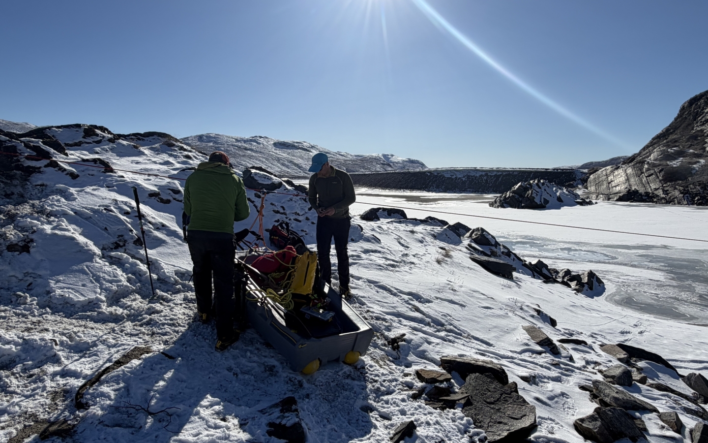
Near Kangerlussuaq, just inside the Arctic Circle, an international research team is using hundreds of STRYDE nodes to listen to the movement of water around and beneath Leverett Glacier.
The work forms part of GRuMPS - Greenland Runoff Monitoring using Passive Seismics — and contributes to ARIA’s £81 million Forecasting Tipping Points programme. The programme aims to develop an early-warning system capable of identifying when critical components of the Earth’s climate may be approaching irreversible change. Its initial focus includes the Greenland Ice Sheet and the subpolar gyre, two closely connected parts of the climate system.
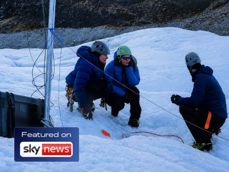
The Greenland research was featured by Sky News on 23 July 2026, highlighting the potential relationship between melting ice, freshwater entering the North Atlantic and changes to the Atlantic Meridional Overturning Circulation, or AMOC.
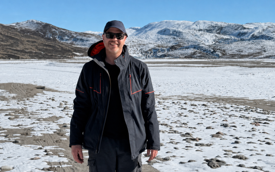
Professor James Hammond is working with STRYDE through a prestigious Royal Society Industry Fellowship to explore how affordable, cutting-edge seismic technology can support environmental research.
The Greenland deployment is one of several research projects he will undertake during the fellowship, investigating new ways miniature seismic nodes can help scientists monitor glaciers, rivers, landslides and other changing natural environments.
Below is a summary of the Greenland Ice Sheet monitoring project:
Environmental and glacial monitoring
Leverett Glacier, near Kangerlussuaq, southwest Greenland
Greenland Runoff Monitoring using Passive Seismics — GRuMPS
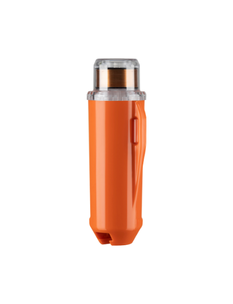
450 STRYDE nodes and Mini System
Small seismic arrays positioned along meltwater rivers and across the ice
Investigate whether seismic energy can be used to quantify meltwater discharge from the Greenland Ice Sheet
Meltwater leaving the Greenland Ice Sheet delivers freshwater into the North Atlantic, where it can influence ocean circulation and the wider climate system. Understanding how much water is leaving the ice sheet — and how that volume changes over time — is therefore essential for improving climate, ice-sheet and ocean models.
However, directly measuring glacial runoff is difficult. Greenland’s rivers are remote, dynamic and often hazardous to access. River channels may change shape, divide into multiple channels or become covered by ice, making conventional instruments difficult to install and potentially unreliable.
Existing measurements are also relatively sparse and are often limited to land-terminating glacier margins with incomplete coverage over time. GRuMPS aims to develop a more systematic approach that could eventually support continuous and near-real-time monitoring across major Greenland Ice Sheet catchments.
The research team is investigating whether it can overcome these limitations by listening to the seismic energy generated by turbulent meltwater.
As water moves through and beneath the ice, and along rocky river channels, it creates vibrations. By recording and analysing those vibrations, researchers hope to establish a relationship between seismic energy and the volume of water flowing through the system.
The project brought together researchers from the University of Sheffield, Aberystwyth University, the University of Bristol, IGE Grenoble and Asiaq Greenland Survey, alongside additional collaborators.
The team took 450 STRYDE nodes to Greenland for the wider monitoring programme.
During the initial deployment, approximately 100 nodes were installed in small arrays along the meltwater river. A further 300 nodes formed part of the subsequent deployment across the ice, helping the researchers listen for water moving through otherwise inaccessible parts of the glacial system.
The nodes positioned along the river were deployed in small diamond-shaped arrays. Each site included:
Four longer-term seismic stations were also deployed, while complementary instruments provided independent measurements of river discharge and other environmental conditions. Team members additionally collected water samples, enabling the seismic observations to be compared with physical measurements from the river.
During the April 2026 field campaign, the team installed more than 100 small seismic nodes at varying distances from the river to help determine the best locations for future monitoring stations. Seismometers were also installed both on and beside the glacier to test whether they could detect water flowing beneath the ice.
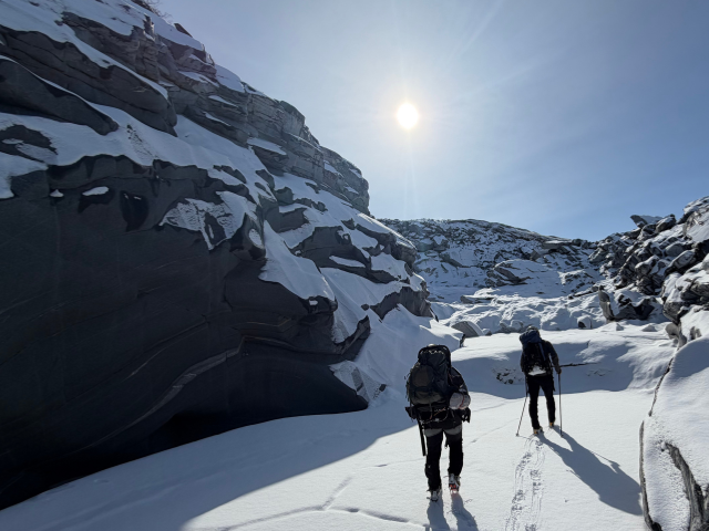
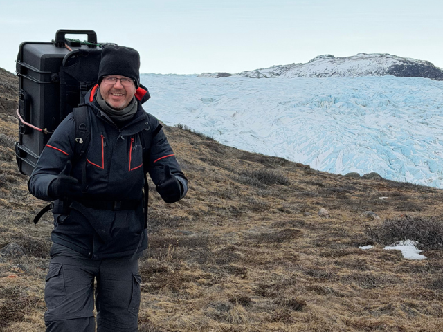
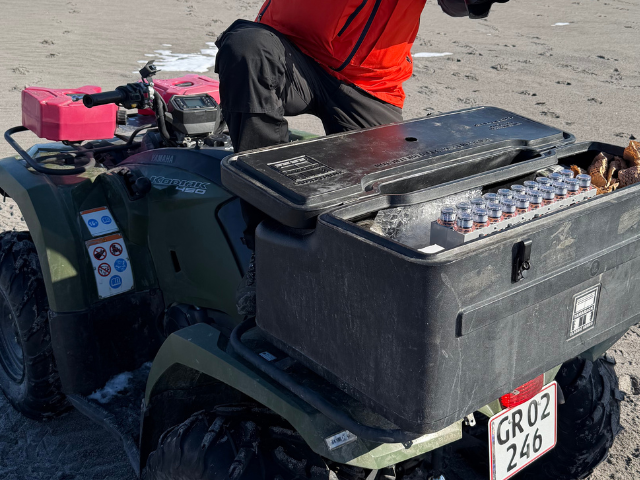
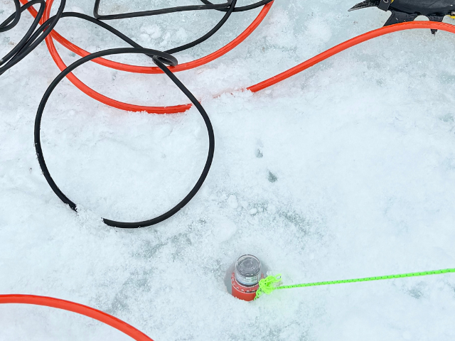
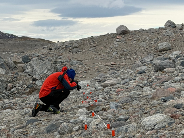
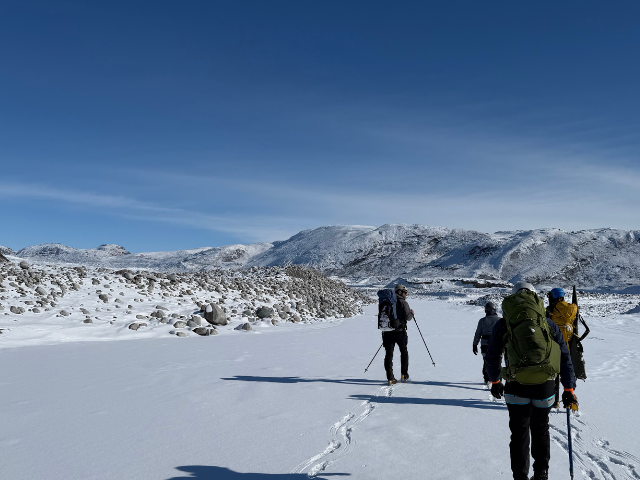
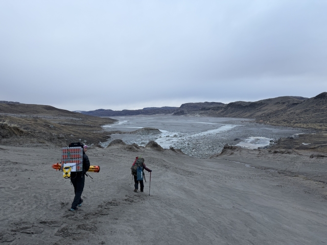
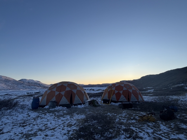
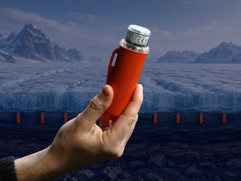
Fieldwork in Greenland presents significant logistical challenges. Equipment must be transported across remote terrain and, in some cases, carried manually over snow, ice and uneven ground.
The small size and low weight of STRYDE nodes enabled the researchers to transport and deploy a much larger number of sensors than would have been practical with conventional seismic equipment. This gave the team the flexibility to install multiple compact arrays at different points along the river rather than relying on a small number of isolated monitoring stations.
The denser spatial coverage will help researchers understand how the relationship between seismic energy and water flow changes with the river’s shape, width and surrounding terrain. It will also allow them to assess the effects of divided river channels, sensor distance and differences between signals recorded on and beside the ice.
These factors are essential to understand before passive seismic monitoring can be used to estimate water flow reliably across other glacial catchments.
“In an environment such as Greenland, every piece of equipment must be carried into challenging and remote terrain. The compact size and low weight of the STRYDE nodes meant we could comfortably transport almost 100 nodes in backpacks and deploy them efficiently across the ice and along the river. That mobility allowed us to establish multiple seismic arrays and achieve a level of spatial coverage that would have been extremely difficult with larger, heavier equipment.
“The data will help us understand how seismic energy relates to meltwater flow under different river and glacial conditions. The longer-term goal is to develop a scalable way of continuously monitoring freshwater leaving the Greenland Ice Sheet and provide stronger observational evidence for the climate models used to assess potential tipping points.”
Prof. James Hammond
Professor of Geophysics, School of Natural Sciences, Birkbeck University of London
The immediate objective of the field campaign is to determine how accurately seismic measurements can be calibrated against direct observations of water flow.
The team will compare the seismic data with information from river-monitoring instruments, environmental sensors and water samples. This will help researchers understand which seismic characteristics provide the most reliable indication of meltwater discharge.
Ultimately, the ambition is to move beyond sparse and intermittent observations towards a scalable monitoring system that can continuously assess runoff from major glacial catchments.
Better runoff measurements could improve understanding of how much freshwater is entering the North Atlantic and provide stronger observational evidence for models investigating changes to the Greenland Ice Sheet and ocean circulation.
ARIA’s Forecasting Tipping Points programme seeks to combine new sensing technologies, observations and modelling to demonstrate whether an affordable and sustainable early-warning system for climate tipping points can be created.
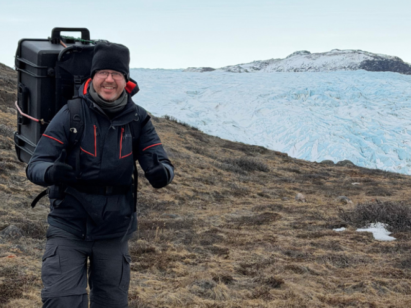
James Hammond’s Royal Society Industry Fellowship is exploring how advances developed for high-density seismic acquisition can support environmental science.
The Greenland deployment is one of several studies demonstrating that miniature, scalable seismic systems can be used for much more than conventional subsurface imaging. From monitoring rivers and glaciers to studying landslides and other environmental processes, dense seismic measurements can reveal changes that are difficult to observe directly.
By supporting James throughout the fellowship, STRYDE is helping researchers test new environmental applications for seismic technology and make large-scale sensing more practical in locations where conventional instrumentation is difficult to deploy.

