


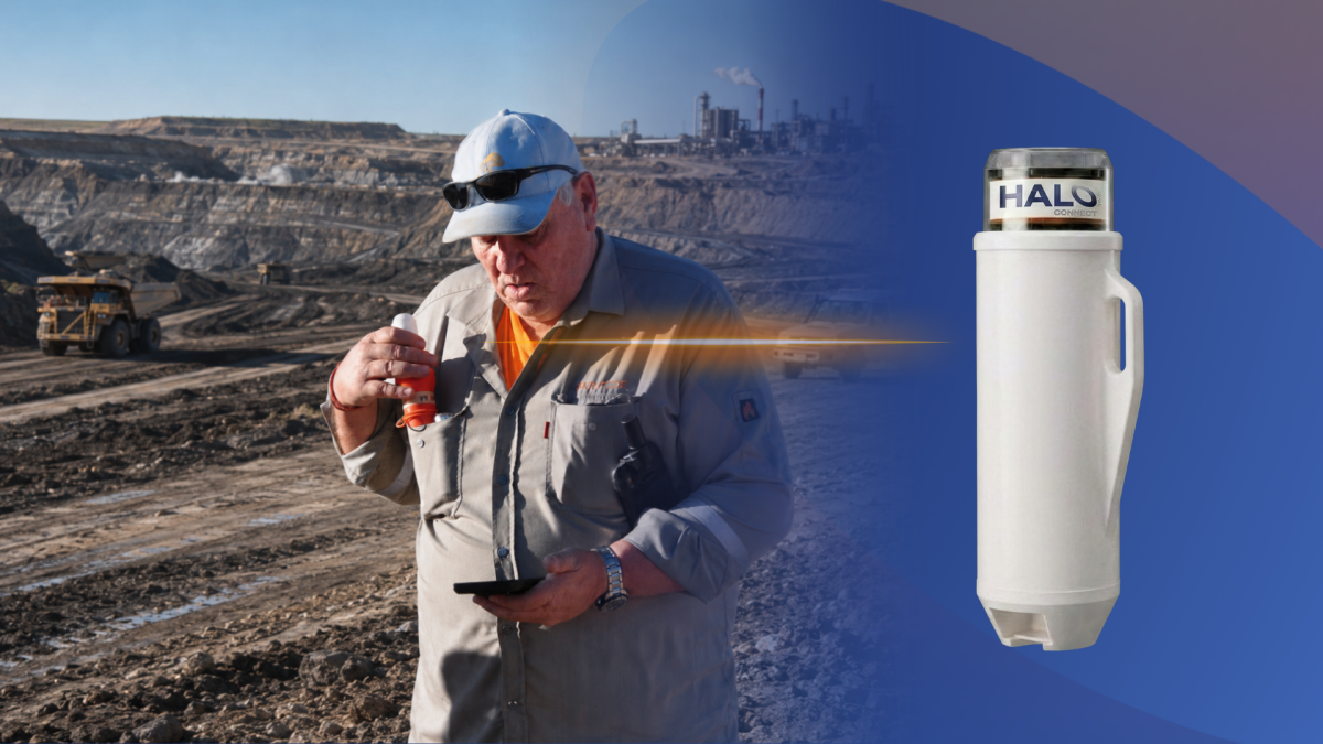
Take a fresh look at STRYDE. Meet Halo.
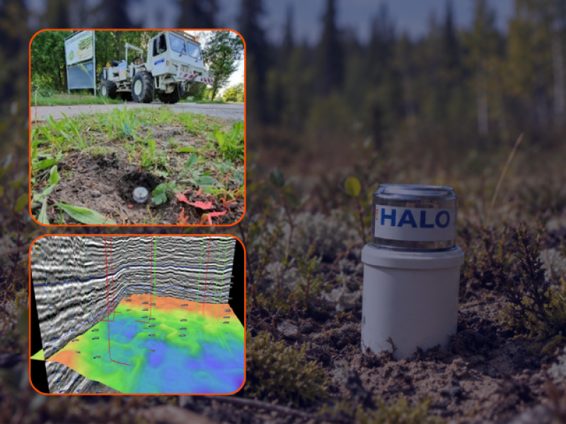
Your seismic data needs to do more than reveal subsurface structures. It needs to support detailed reservoir imaging, improve velocity models, and enable advanced workflows such as full waveform inversion (FWI) - helping your team make confident exploration and development decisions within your budget and schedule.
STRYDE’s new Halo node family combines an enhanced sensor and broader bandwidth with compact nodal technology built for efficient, high-density acquisition. Its improved low-frequency performance gives geoscience teams a compelling new option for acquiring the densely sampled, broadband data that supports demanding imaging workflows.
STRYDE Range+ node data has already supported FWI in the Delaware Basin, demonstrating its value for advanced seismic workflows. Halo builds on that track record with enhanced sensor technology and improved low-frequency performance, giving your team a compelling reason to consider STRYDE for your next survey.
Our new Halo node brings new capabilities to consider.
Its evolved piezoelectric sensor and enhanced electronics deliver broader bandwidth, higher sensitivity, and lower noise. Field benchmarking against our Range+ node and other nodes available on the market, demonstrated improved low-frequency response, among other enhancements.
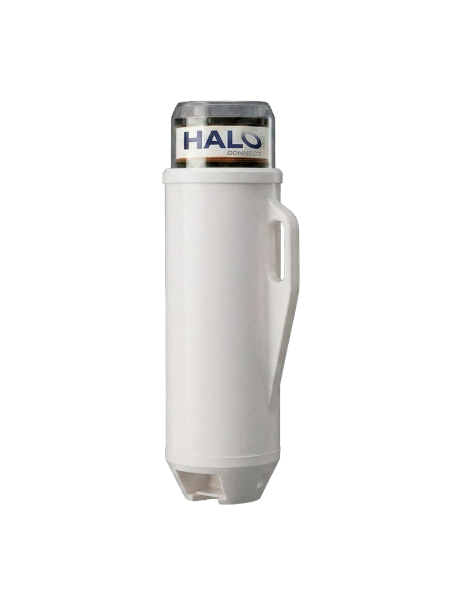
Proven field results across 6 field pilots demonstrate the low-frequency performance of Halo’s evolved sensor.
A specified sensor bandwidth of 0.5–200 Hz supports a wide range of seismic imaging applications.
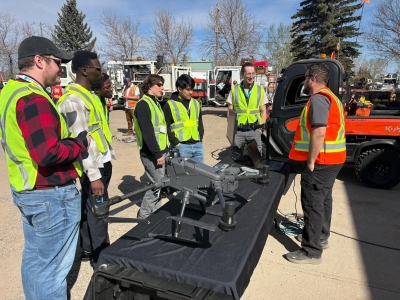
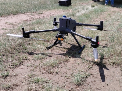
Miniature nodes and established STRYDE deployment and harvesting workflows help manage the practical demands of higher receiver counts and large volumes of data.
Small, lightweight equipment translates to smaller crews, less logistics and reduced survey costs.
Companies can utilise our built-in processing solution, STRYDE Lens™ to accelerate image delivery to as little as 48 hours.
STRYDE has already proven its suitability for FWI imaging across multiple projects.
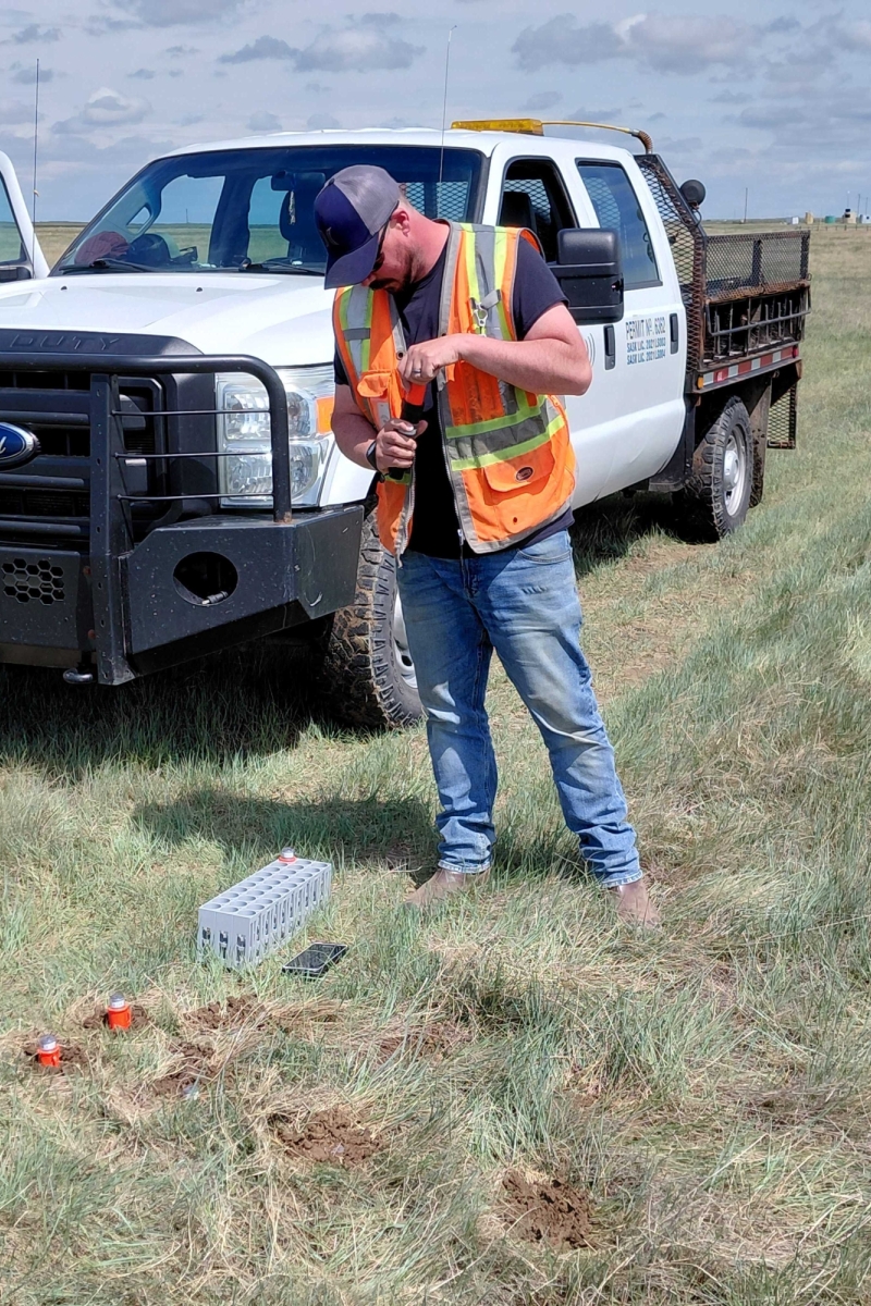

Choosing STRYDE for your seismic survey gives you the option to accelerate image delivery with STRYDE Lens™, our integrated in-field processing service.
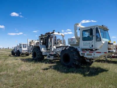
Lens™ temporarily converts the STRYDE acquisition system into a processing environment, allowing our processing geophysicists to remotely access and process data as it is downloaded from the nodes. Processing can therefore begin while acquisition is still underway, shortening the overall timeline from survey to subsurface image.
For your geoscience team, this means earlier access to preliminary images to assess subsurface detail, begin interpretation, and evaluate how the developing dataset addresses your exploration objectives.
Your seismic investment needs to deliver reliable subsurface insight in time to inform exploration and development decisions.
STRYDE Halo combines enhanced low-frequency performance with compact nodal technology that makes high-density acquisition more practical and cost-effective. Add STRYDE Lens™ to process data alongside acquisition, giving your team earlier access to preliminary images and shortening the overall timeline from survey to subsurface insight.
Talk to us about an acquisition and processing approach aligned with your imaging objectives, project schedule, and budget.